|

Orange County Wildlife Protection Areas(Component 10 of New Hope Corridor Open Space Master Plan)PhotosClick to enlarge. 10A. Piney Mountain Creek and Rhodes Creek10B. Duke Forest and Upper New Hope CreekPiney Mountain Creek and Rhodes CreekDescription and Special FeaturesIn the NewsLinks to news stories: Text from 1991 New Hope Corridor Open Space Master PlanExisting Land Use & Ownership
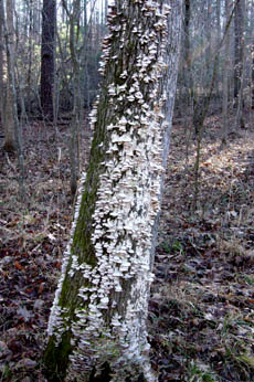
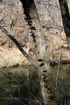
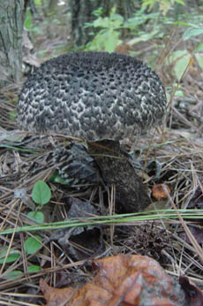
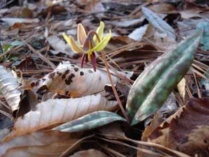
Future Land Use Low density residential and agricultural. Significant Resources In Orange County north of the Korstian Division of Duke Forest, there are a few locations suitable for wildlife corridors. Piney Mountain Creek and Rhodes Creek have excellent potential as protected wildlife corridors (see Master Plan overview map). Wildlife is abundant and is accustomed to ranging over the areas and entering and leaving Duke Forest. In addition, several sites identified in the Orange County Inventory are located in these areas and should be preserved and protected. Recommendations for Protection & Use
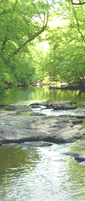
Duke Forest and Upper New Hope CreekDescription and Special FeaturesThis component includes the Korstian division of Duke Forest. The office of the Duke Forest sells detailed trail maps of its Korstian and other divisions. Click here for details. Also bordering New Hope Creek in this area is the Triangle Land Conservancy's Johnston Mill Nature Preserve. In 2008, the N.C. Department of Transportation is making plans to replace the bridge over New Hope Creek on Turkey Farm Road, adjacent to Johnston Mill. See our special page on the Turkey Farm Road Bridge for details of efforts to make sure the bridge replacement is done in a scientifically, environmentally sound manner. In the NewsLinks to news stories: Text from 1991 New Hope Corridor Open Space Master PlanExisting Land Use & Ownership
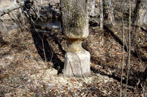
Future Land Use Use of Duke Forest lands is subject to Duke land resource policy and, therefore, may change over time. Land adjacent to Duke Forest is now and will probably remain primarily in low-density residential and agricultural use. In 1999, as part of the implementation of the New Hope Master Plan, the Triangle Land Conservancy acquired two tracts of land along New Hope Creek between Mt. Sinai Road and Turkey Farm Road. That land is now TLC's Johnston Mill Nature Preserve, and it is open to the public year-round. Significant Resources This component includes the Korstian Division of Duke Forest and the western, upstream corridors of New Hope Creek, as shown on the Master Plan overview map). A basic assumption in the creation of the Open Space corridor concept and the New Hope Master Plan has been that the inclusion of Duke Forest and its trails is a critical part of the Master Plan. As has been noted many times, the trails in the forest are already used by hikers. Plant and animal life are plentiful and worthy of protection. This Component of the Master Plan takes advantage of the splendid and immensely popular Alluvial Forest Trail along New Hope Creek in the Korstian Division of Duke Forest. This trail has been created by informal hiking activity and for the most part is on floodplain soils that are scoured during flood events. In several locations, the trail connects with fire roads constructed and maintained by Duke Forest crews. These roads lead out of the forest to locked gates opening onto State-maintained roads. One of the roads, Wooden Bridge Road, leads to Whitfield Road at Gate 24. Another unnamed fire road leads to Gate 25, also on Whitfield Road. Recommendations for Protection & Use
|