|

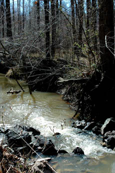
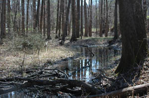
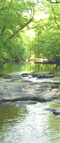
Mud Creek Urban Greenway from Chapel Hill-Durham Boulevard to Duke Forest(Component 7 of New Hope Corridor Open Space Master Plan)PhotosClick to enlarge. Description and Special FeaturesIn the NewsLinks to news stories: Text from 1991 New Hope Corridor Open Space Master PlanExisting Land Use & Ownership
Future Land Use Land use in this area is presently subdivisions, and the Future Land Use Map indicates residential uses for the future. No anticipated change. Significant Resources The environment of this area of Mud Creek has been compromised somewhat by the installation of a sanitary sewer main, which at the same time has the effect of giving this area a more open feeling than that experienced in the heavily forested floodplains to the south. Some steep slopes exist along the eastern boundary of the floodplain. Four vegetation sites occur in this area, including three large vegetation units: the New Hope Creek-Dry Creek-Mud Creek Lowlands, the Upper Mud Creek Triassic Lowlands, and the Eastern Mud Creek Hardwood Slopes (see Appendix E of the Master Plan). The steep slopes on the east bank of Mud Creek are in private, small-parcel ownership and will likely not be disturbed. Acquisition is not considered an absolute necessity. However, it would be desirable to obtain conservation easements to protect scenic values. Recommendations for Protection & Use
|